
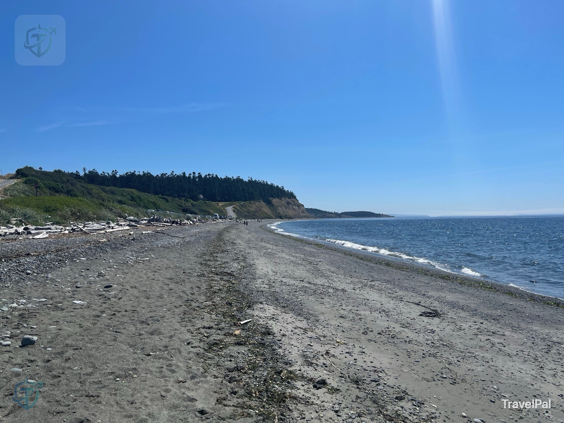
Every scenic place has a little trick it plays on first-time visitors. Ebey’s Landing lets you think you have understood it in the first five minutes: blue water, a long beach, green bluff, done. I believed the trick for a while. Then I noticed that the fields behind me looked less like scenery than a decision someone had made—and kept making.
My photographs tell the story in the order I felt it. First the shoreline, then the bluff, then a log wall so old it seemed to be holding up the sky. After that came the signs: glaciers, farms, arguments, and a town deciding that “progress” did not have to mean erasing itself.
The beach’s trick
The beach is beautiful enough to end the visit early. That is its trick. I could have stayed with the driftwood and the small bright waves, taken the obvious photograph, and left with a pleasant memory. But the reserve becomes more interesting when the view stops being the conclusion and becomes the opening sentence.
If you have only two hours, give the shore a slow walk and climb far enough to look back. If you have most of a day, let the beach pull you toward the prairie, the old houses, and Coupeville. The place is not asking you to collect attractions; it is asking you to notice what belongs together.
The old bargain
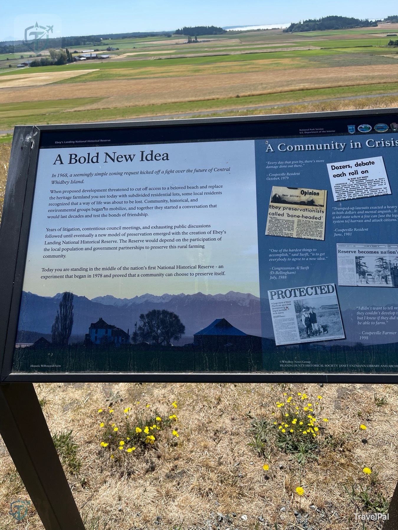
The National Park Service calls Ebey’s Landing the nation’s first national historical reserve, designated in 1978. The official phrase is “historical, agricultural, and cultural traditions.” What I saw was a bargain: keep the farms, keep the town, keep the shoreline open where it can be, and accept that preservation only works if living people agree to carry it.
Much of the land is privately owned. That makes the place feel less like a museum and more like a neighbor who has invited you to look from the road. I stayed on signed public paths and treated the fields and homes as someone’s present, not props borrowed from the past.
Walking into the story
Begin at the shoreline
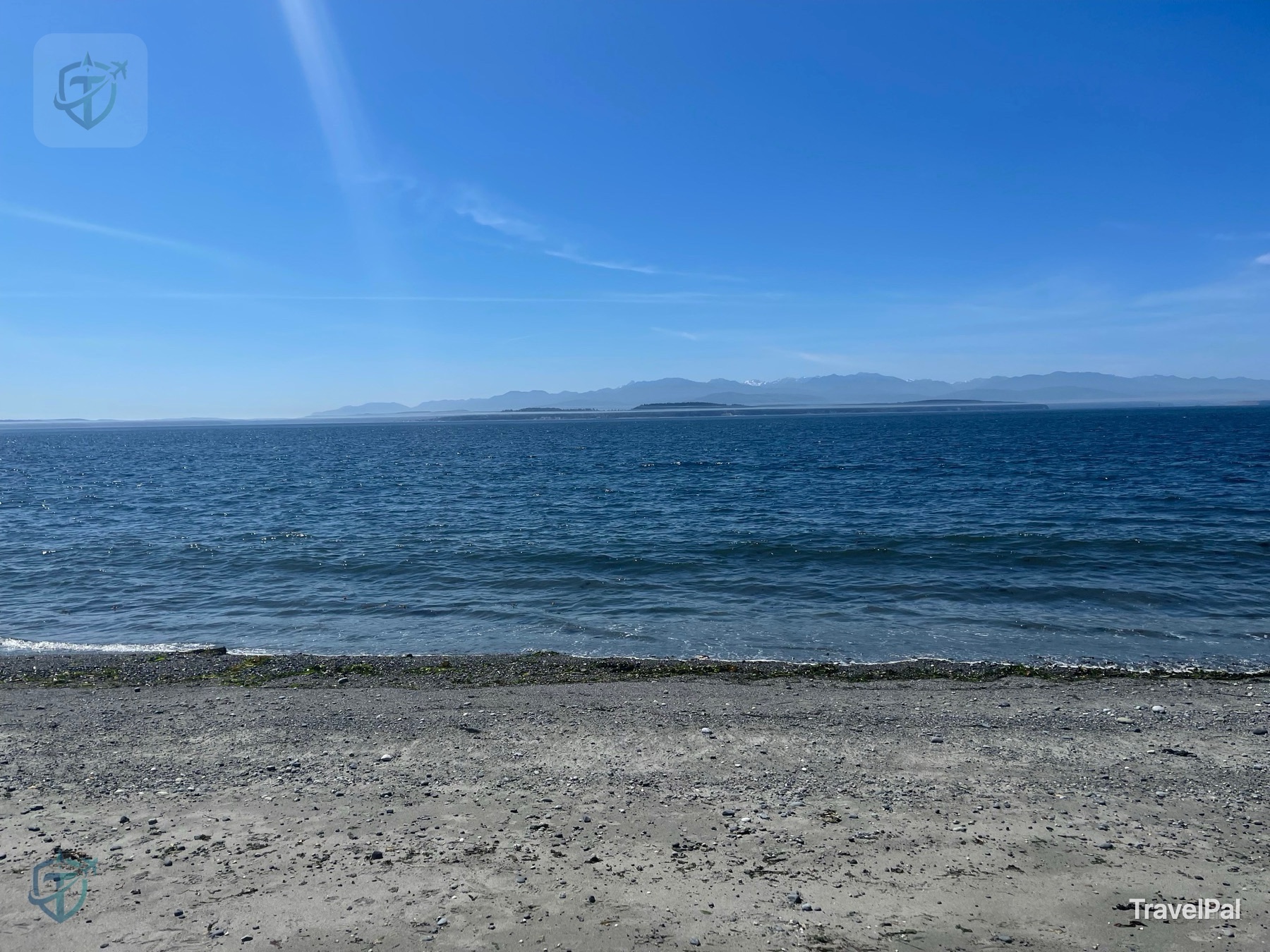
I began at the water because that is where the place makes its first promise. The beach is made for a slow stroll rather than a checklist: smooth stones, driftwood, small waves, and the bluff changing shape as I looked back. The longer I stayed, the less the shoreline felt like an attraction and the more it felt like a threshold.
Let the prairie answer back
For the fuller walk, start near the Prairie Overlook by Sunnyside Cemetery and follow the signed route toward the bluff. The Washington Trails Association describes the classic loop as about 5.6 miles round trip with 260 feet of elevation gain, easy to moderate. Those numbers are useful, but they do not describe the feeling of moving from open field to coastal edge, or the moment when a historic structure appears where you expected only grass.
If you want only the shore, use the seaside access. If you want the reserve’s whole argument—farm, house, prairie, bluff, and beach—start higher and let the landscape reveal its chapters in its own order.
End in Coupeville
Coupeville is part of the story, not merely a place to refuel. I would leave time for the waterfront, the Island County Historical Museum, and something warm to drink. Parking in town also gives the day a calmer shape if the beach lot is full or the wind has decided to become the main character.
What the ice left behind
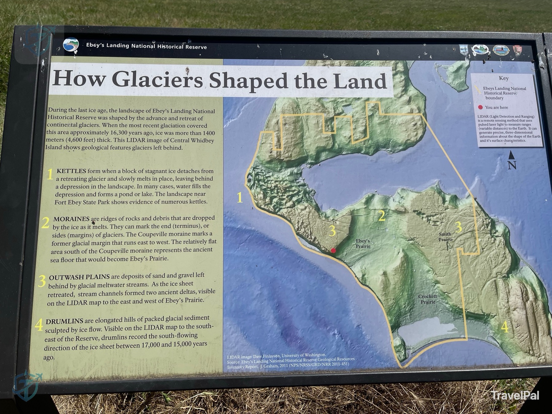
One sign explains how glaciers shaped central Whidbey Island. Kettles, moraines, outwash plains, and drumlins can sound like vocabulary from a textbook, but here they become the plot. The ice made the prairie; the prairie made farming possible; farming made the later argument about preservation matter.
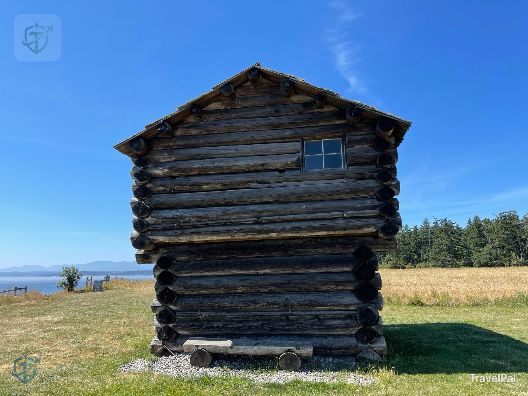
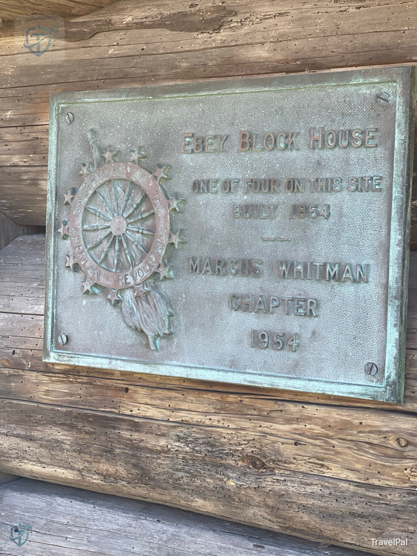
Then there is the human record. The Ebey Blockhouse plaque in my photos identifies the structure as one of four such sites on the reserve and dates its construction to 1854. I like details that interrupt a pretty view. They keep the coast from becoming generic scenery and remind me that people did not arrive here merely to look at nature; they built lives inside it.
Before you return
The reserve itself has no entrance fee, but the three Washington State Parks inside it require a Discover Pass for parking and facilities. The NPS basic information page is the place to check before leaving, because hours and access have a habit of changing while a beautiful memory stays fixed.
The Cottage at Sunnyside, at 162 Cemetery Road in Coupeville, is currently listed as a weekday information stop. The Jacob and Sarah Ebey House contact station is seasonal. Whidbey may sit in a rain shadow, but I would still bring a jacket, hat, and water; the wind at the bluff has its own opinion. Wear shoes that tolerate loose stones and stay on public paths.
What stayed with me
I expected a beach photograph. I left thinking about a community arguing with the future and finding a way to keep its fields, houses, and shoreline in the same sentence. That is the small folktale of Ebey’s Landing: the glacier shapes the ground, people shape a life on it, and then—if they are lucky and stubborn enough—they choose not to erase the evidence.
Go for the water, but do not let the water be the ending. Walk uphill. Read the sign. Look at the old wood. Then let Coupeville give the story a final cup of coffee.
This story combines one firsthand visit with public information checked in July 2026. Trail conditions, parking, visitor-center hours, ferry schedules, state-park pass rules, and access to historic structures can change. Verify details through the National Park Service and Ebey’s Reserve visitor information before travel. All photographs on this page are original TravelPal photography and are copyright protected.