
Monterey / Carmel → Big Sur coast → coastal pullouts → southbound Highway 1
This is the route I remember from roughly 2013, before later slides and bridge work changed parts of the corridor. I have not drawn a decorative map. Use Caltrans Highway 1 road information and QuickMap for the current road status before you leave.
Some road trips are really about arriving. Highway 1 along the California coast was different for me. I remember leaving the Monterey and Carmel area and realizing that the drive itself had become the plan. The lane bent around a cliff, the Pacific opened up, and the next pullout looked more convincing than the last one.
This was around 2013, long before the later storms and road failures that became part of the Highway 1 story. My photographs hold an older version of the route: open pavement, familiar bridges, and a coastline that seemed to have no interest in finishing its sentence.
The road was the attraction
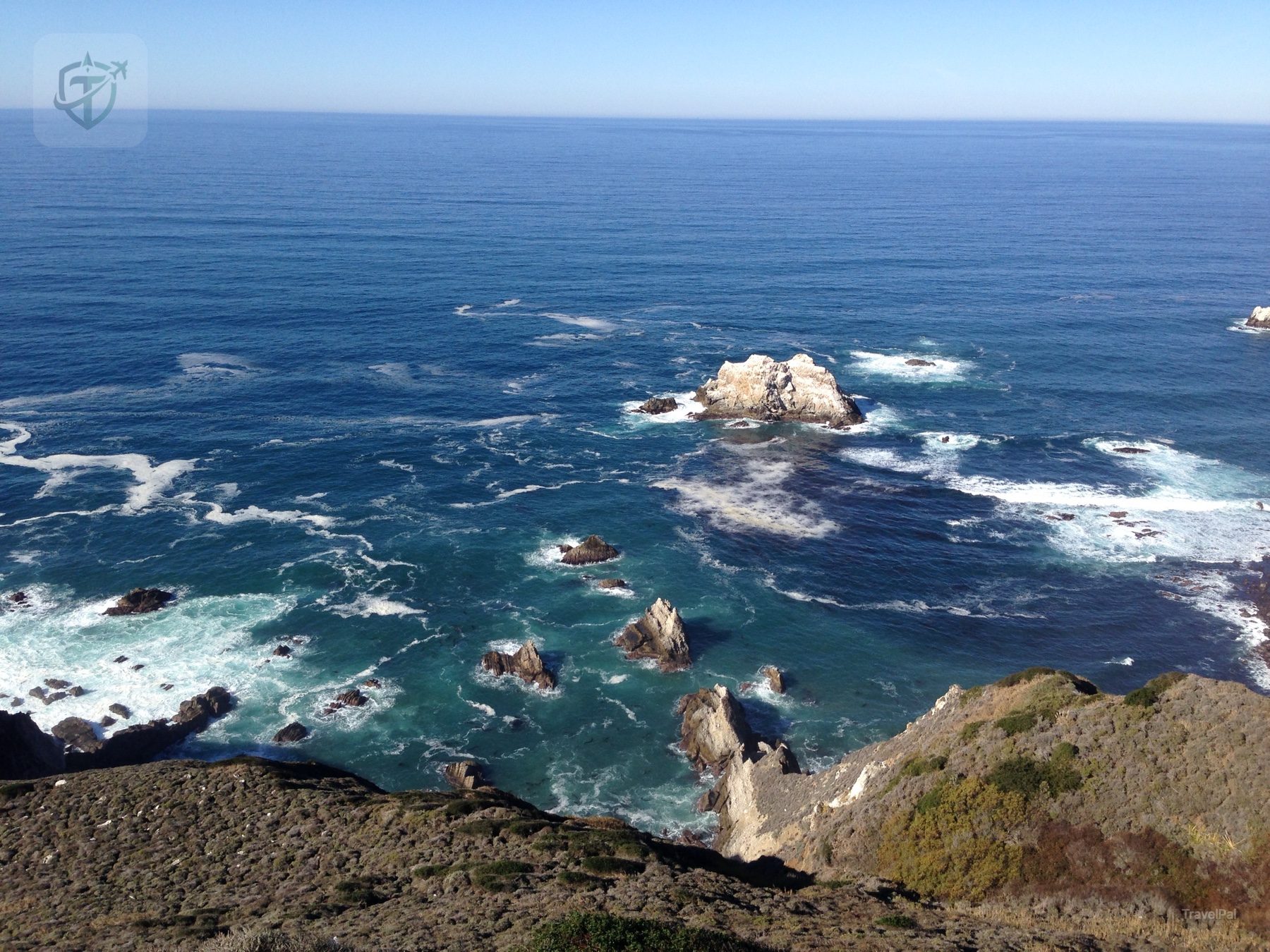
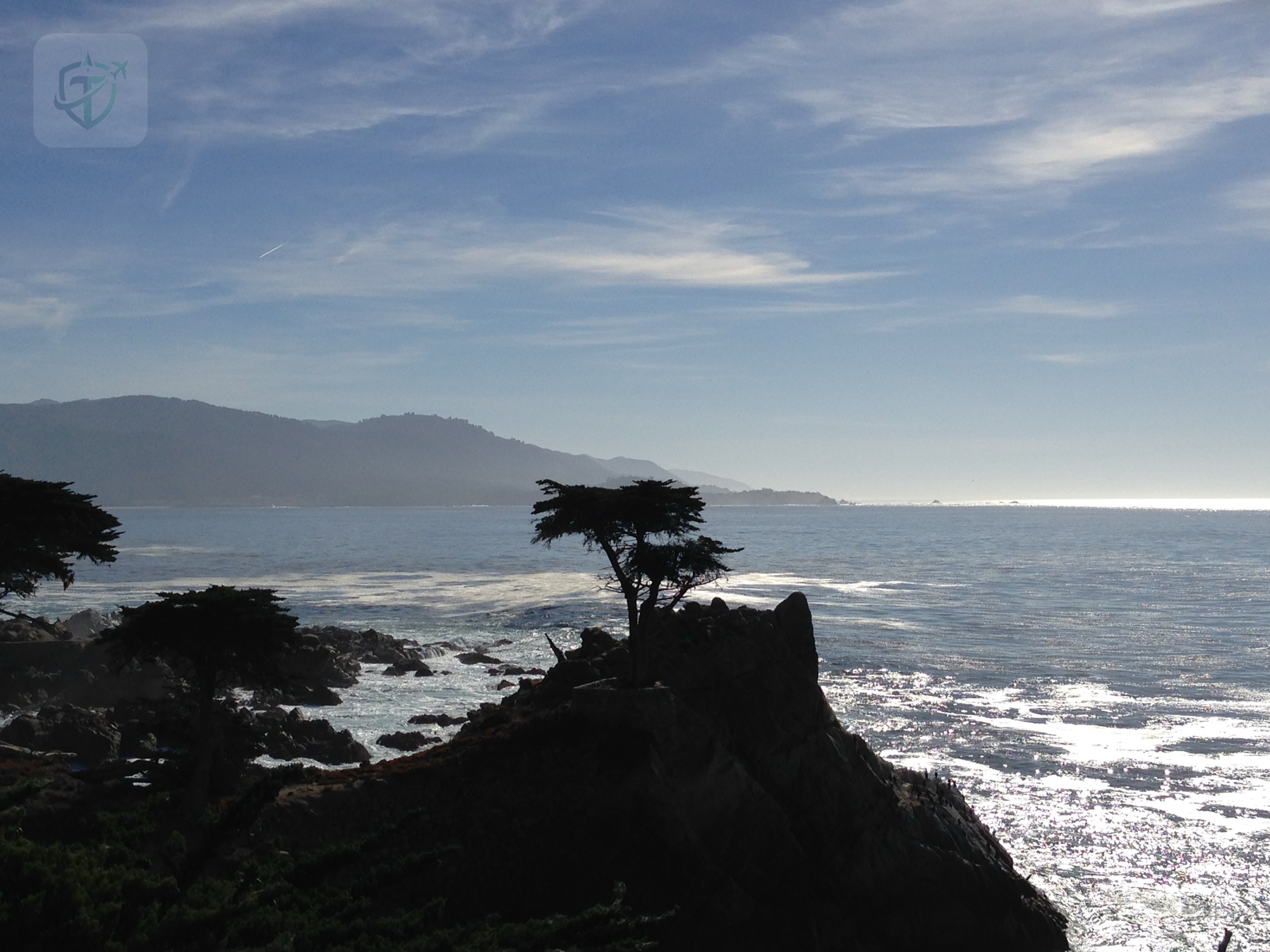
I expected pretty viewpoints. I did not expect the road to keep changing its mood. One minute I was close to the water, watching white surf push through black rocks. A few minutes later the road was high above the ocean, with the land falling away so quickly that I had to stop looking at the view and pay attention to the next curve.
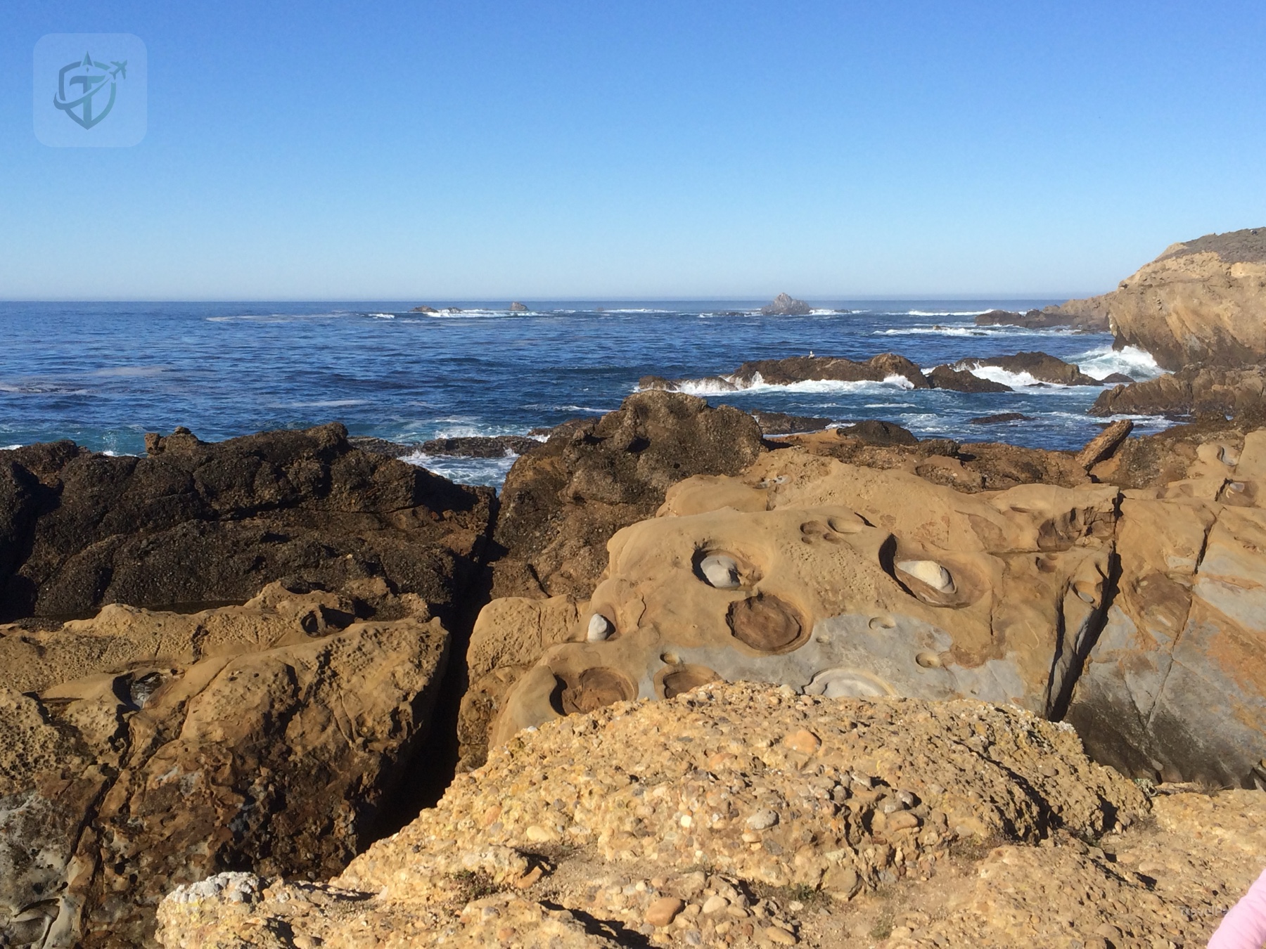
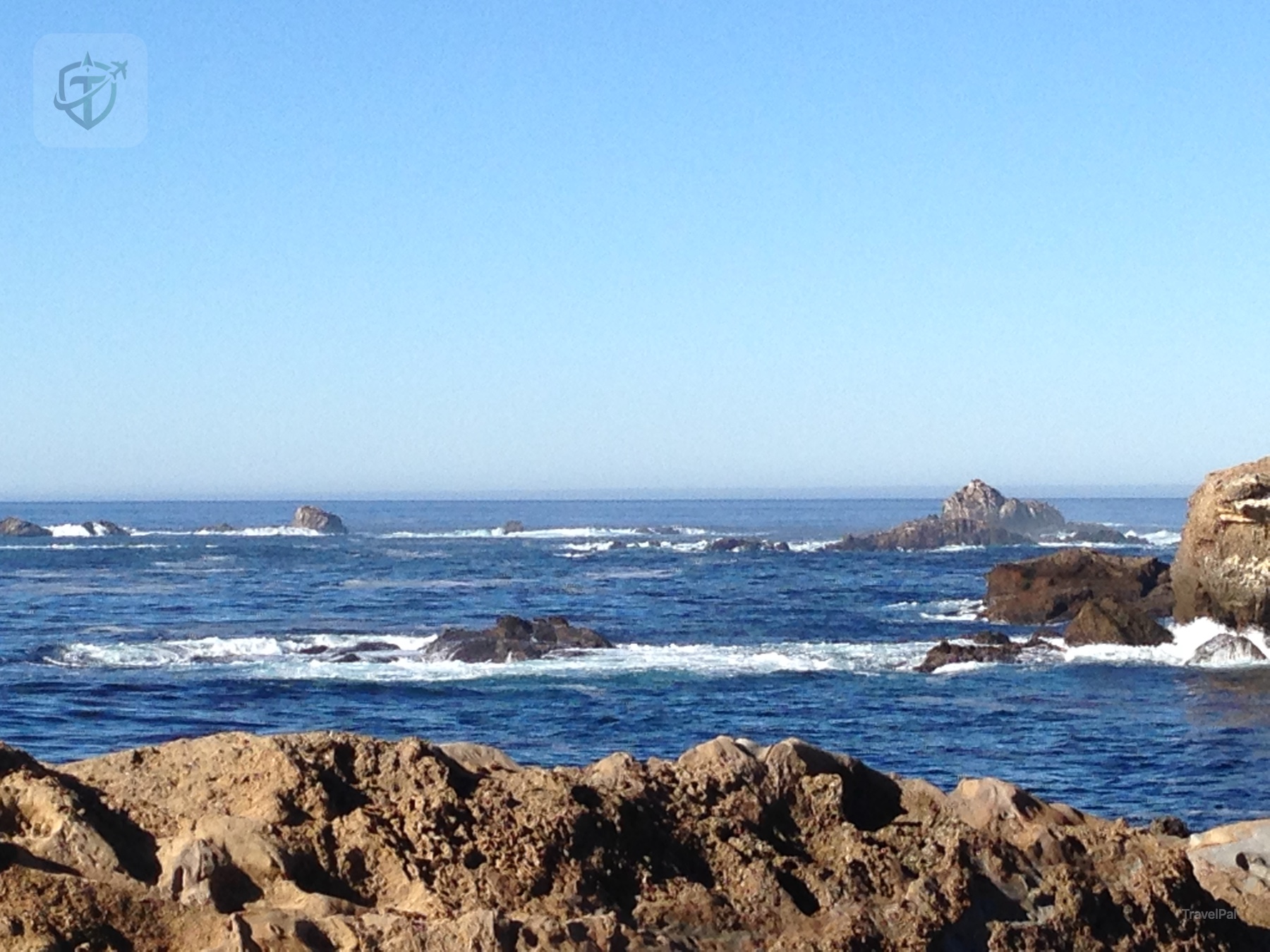
That is the rhythm I remember: drive, pull over, stare for longer than planned, then get back in the car and see whether the next curve could possibly be better. It usually was.
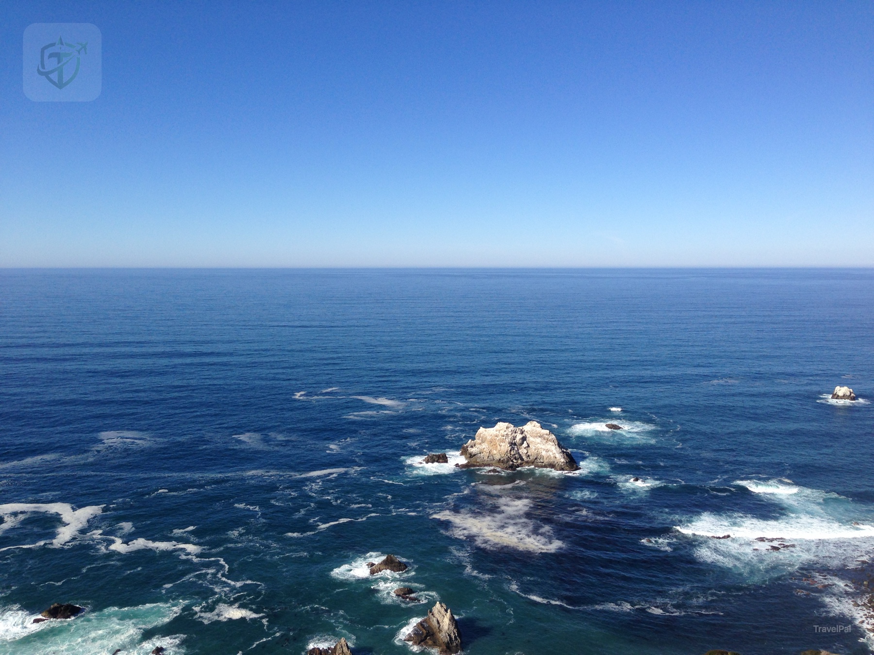
Blue water in every direction
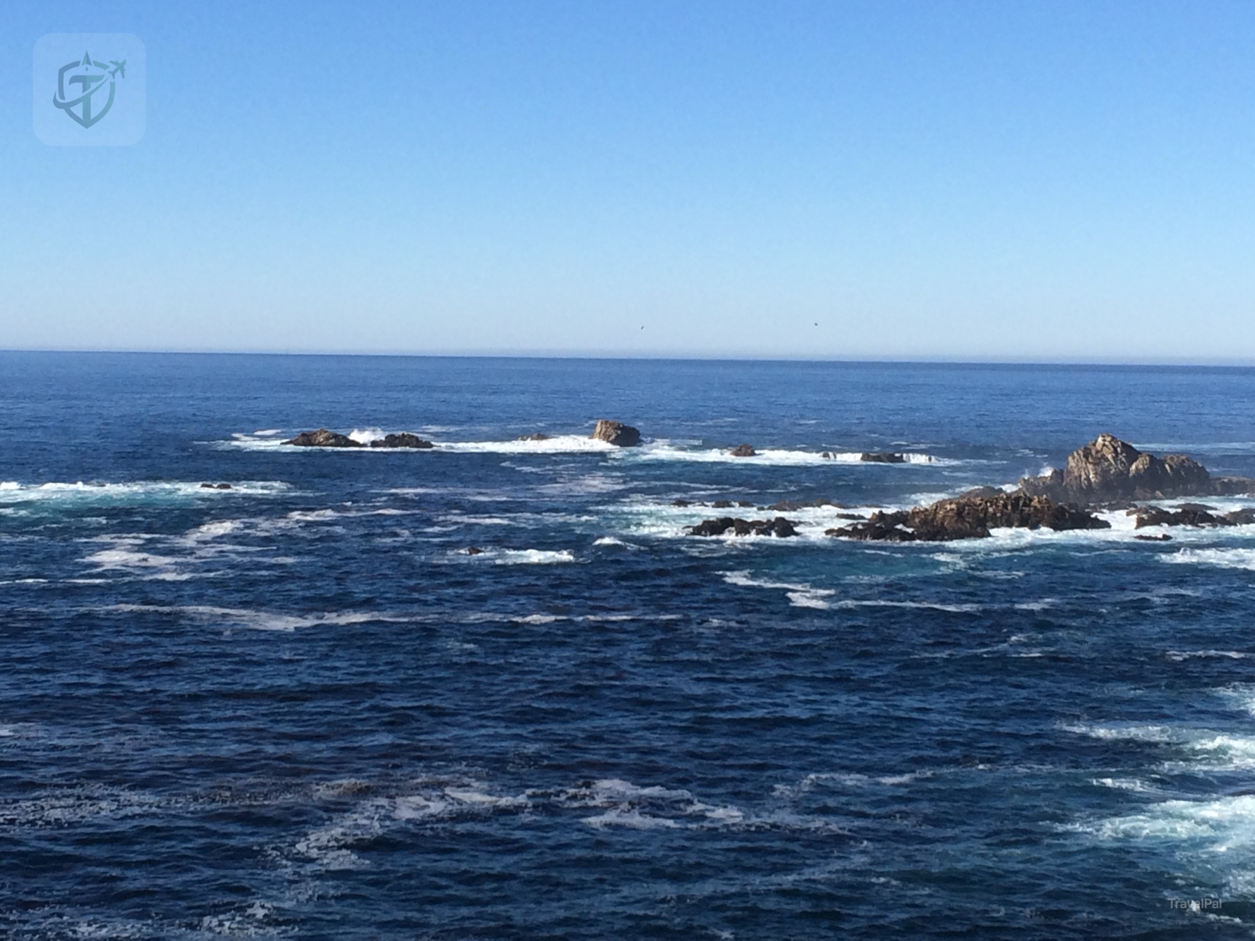
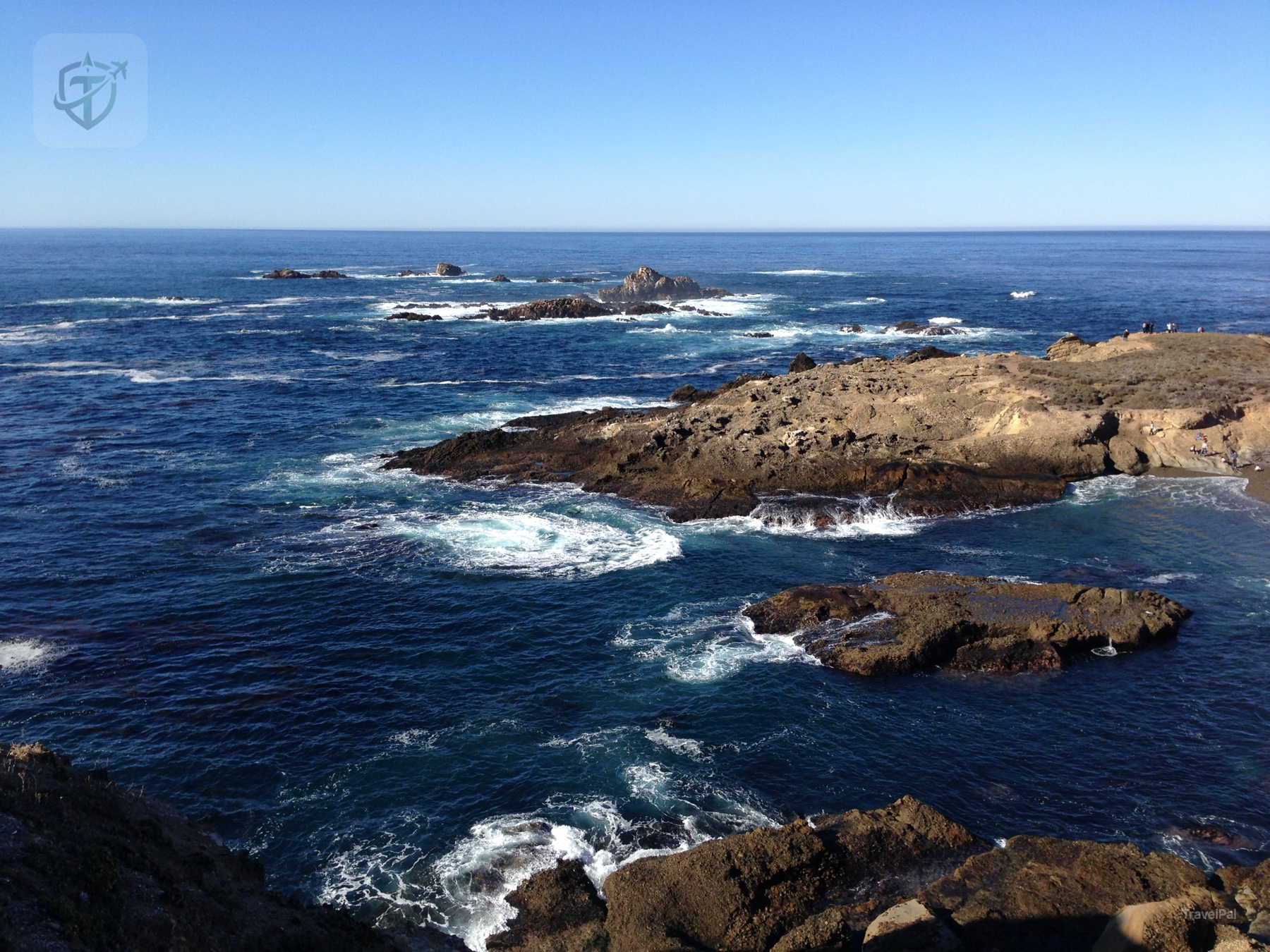
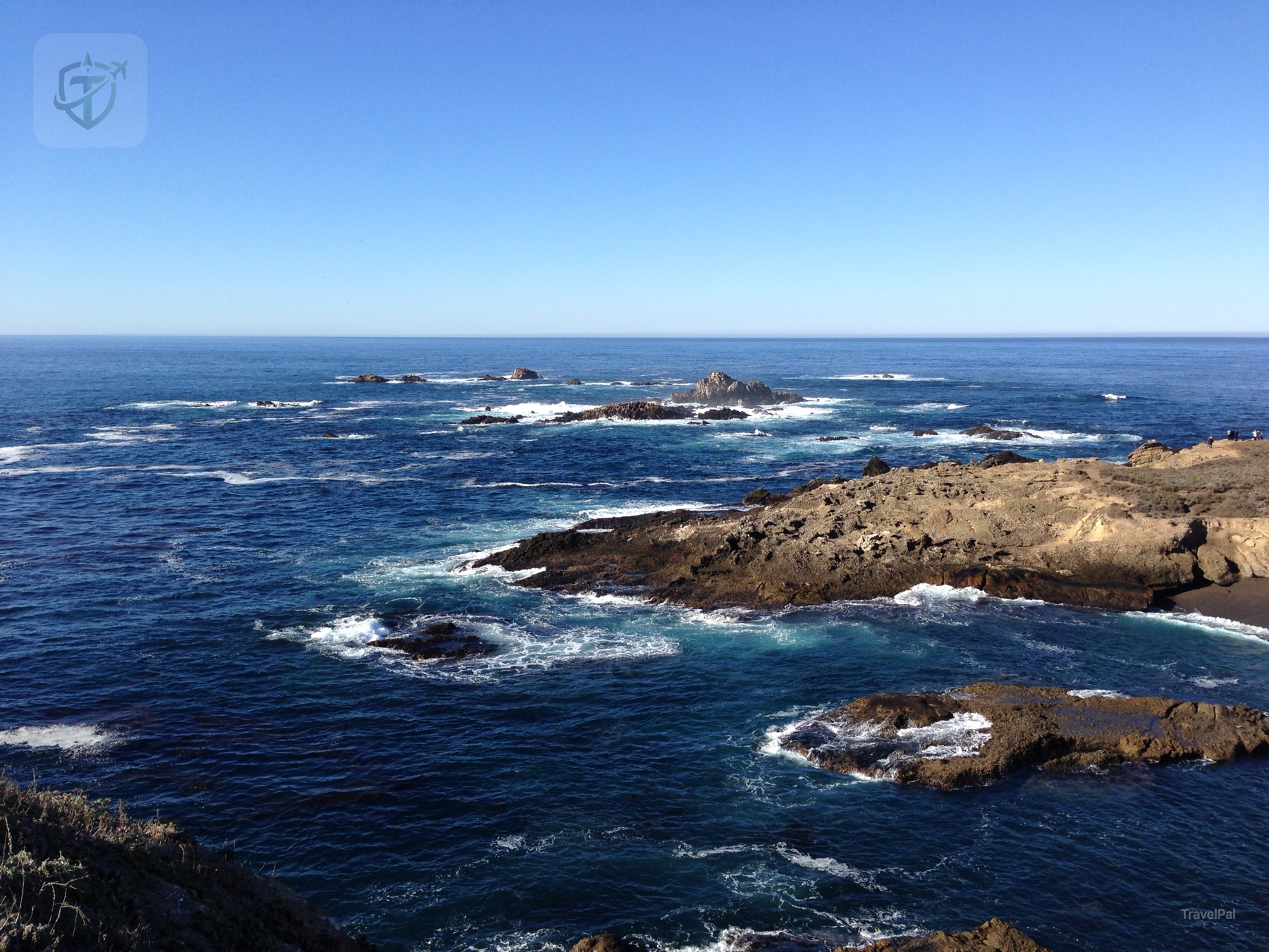
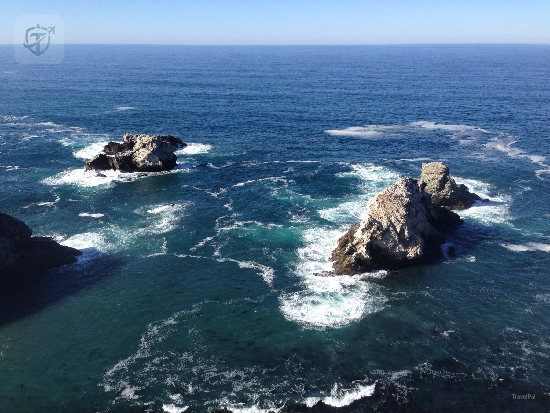
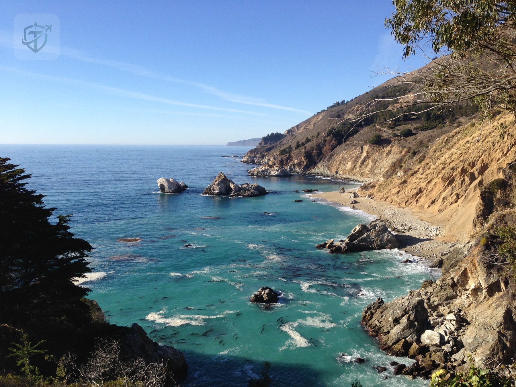
The strongest color in this memory is blue. There was the dark blue of deeper water, the pale blue where sunlight reached the shallows, and the bright turquoise around a sheltered cove. The cliffs added ochre, gray, and green, yet the ocean kept taking over the frame.
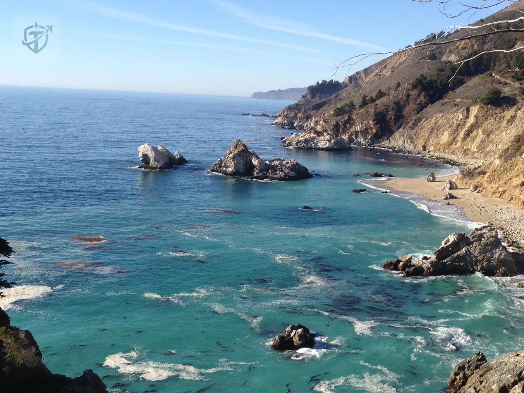
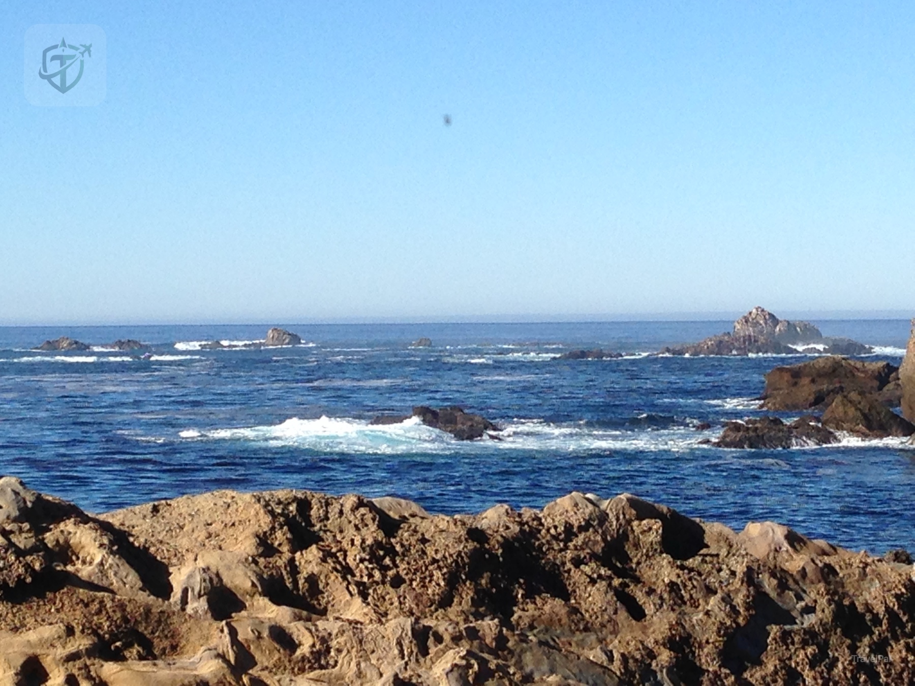
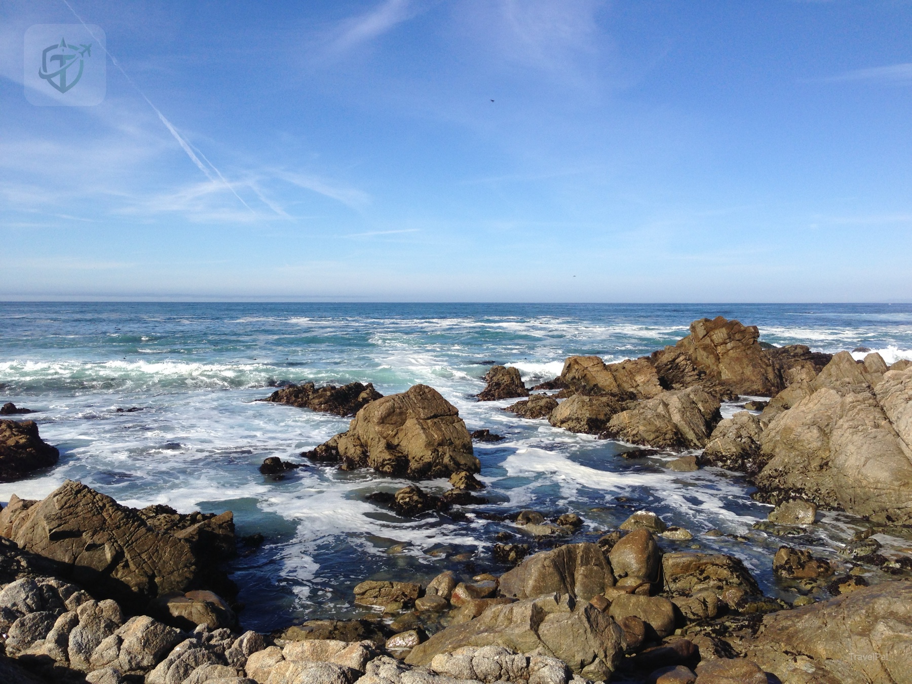
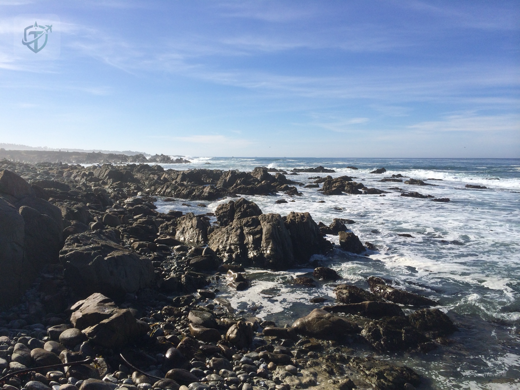
Some pullouts were polished viewpoints. Others were simply a safe place to get out and let the ocean do its work. I liked the rougher ones most. The rocks were full of small pools and irregular edges, and the waves made every photograph feel slightly too calm compared with standing there.
The bridge and the broken timeline
One of my favorite photographs looks down the coast toward a bridge set into the cliffs. The bridge is small in the frame, which is exactly why the picture works for me: it shows how little the road is compared with the coastline it serves.
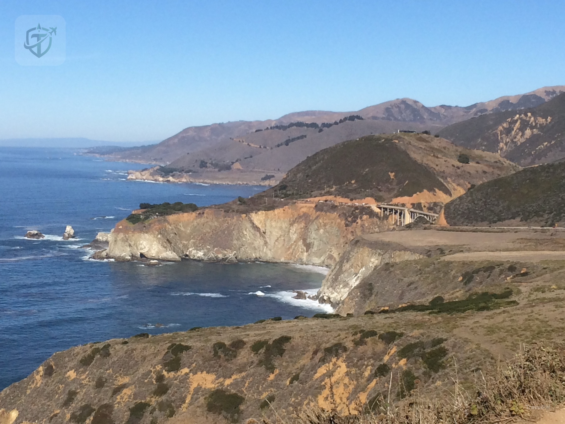
That timing matters now. Highway 1 is a beautiful route, yet it is also a living piece of infrastructure on an unstable coast. The road has been closed, repaired, reopened, and placed under controlled traffic more than once. An old photograph can make the trip look permanent. The current road bulletin tells the truth.
A sunset worth waiting for
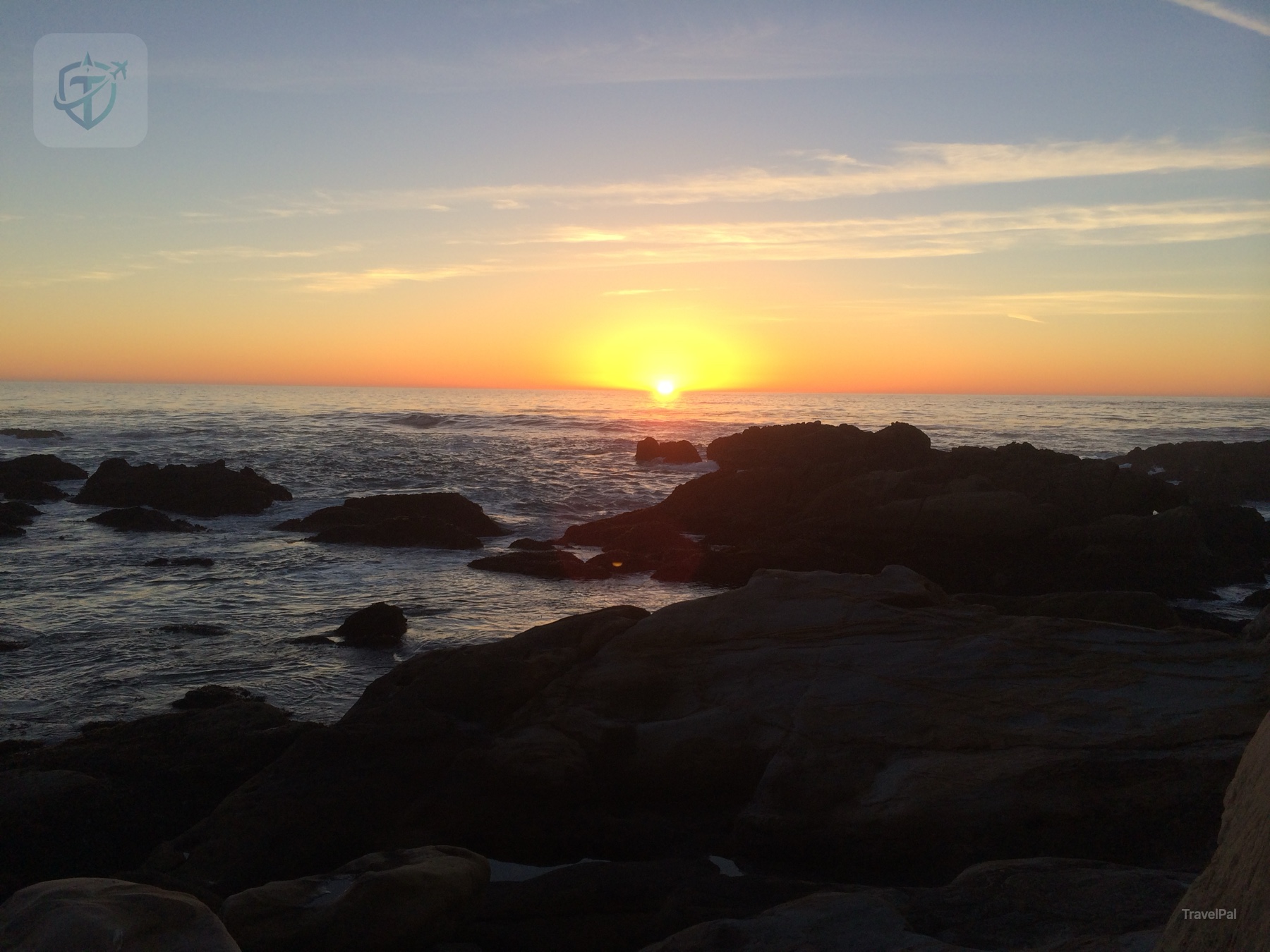
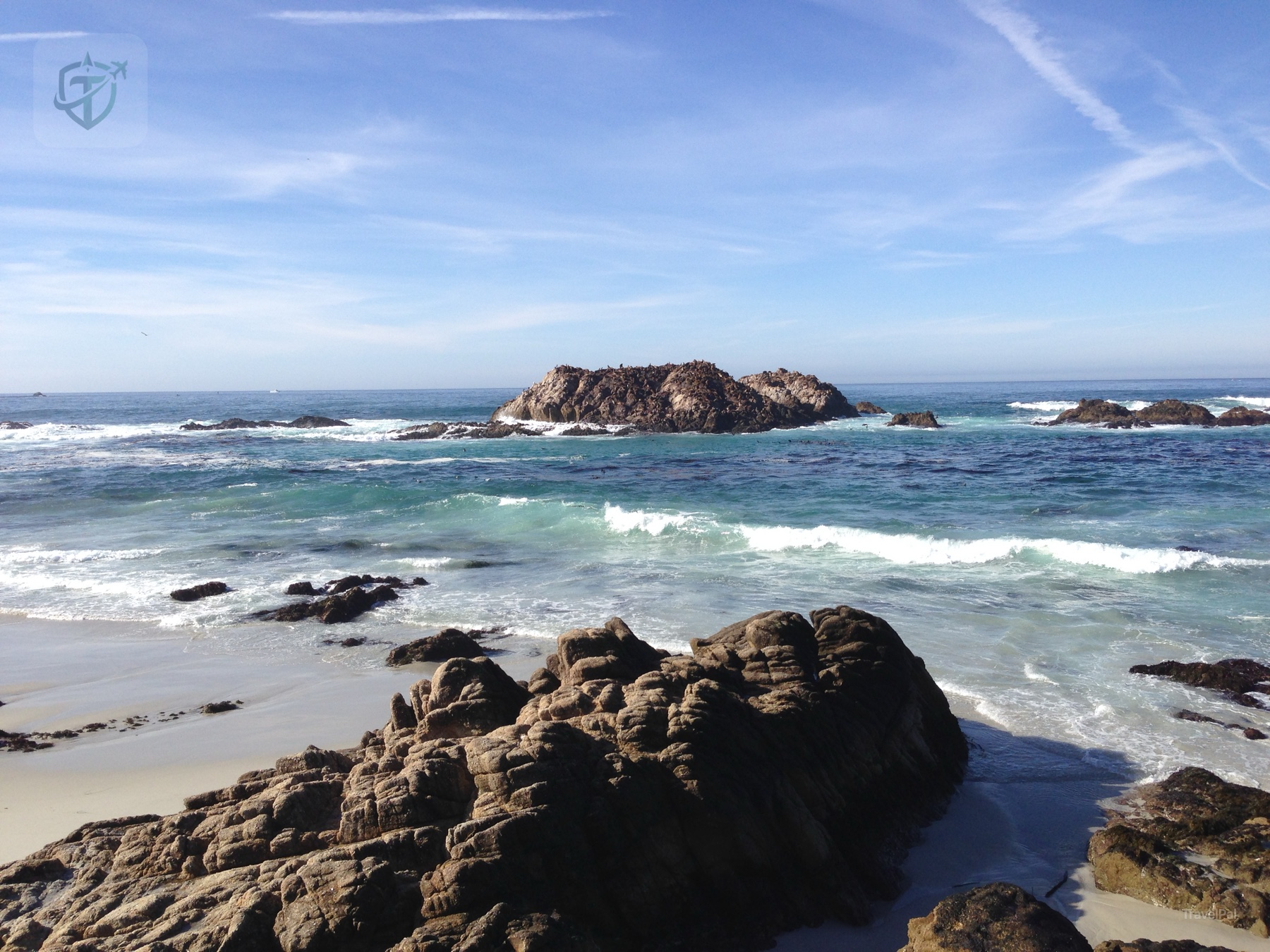
By late afternoon, the light softened. I found a rocky place facing the water and stayed. The sunset did not need any help from a landmark; it turned the sea into a strip of copper and made the rocks in front of me look almost architectural.
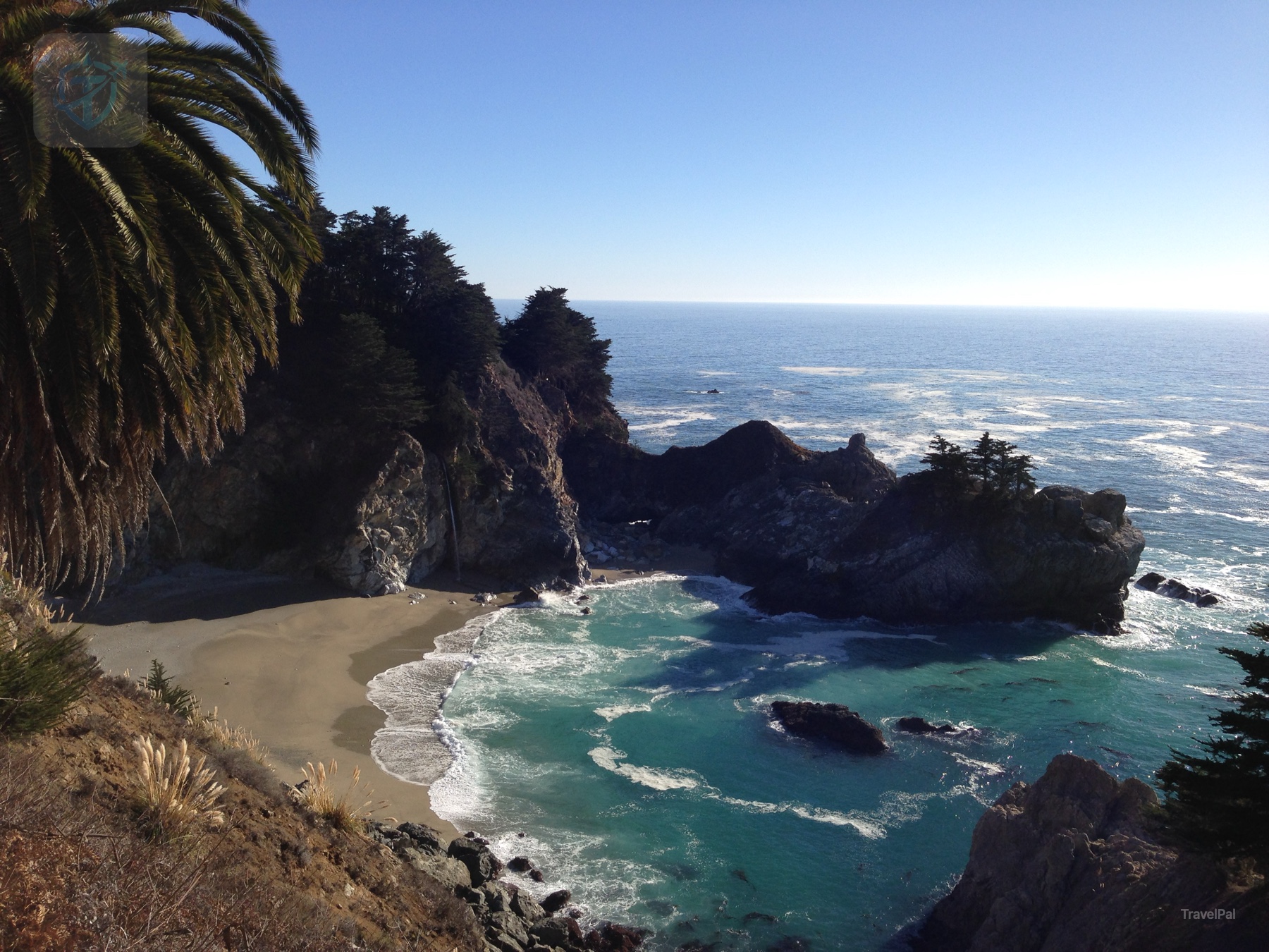
I also remember a small cove framed by a palm and a steep headland. It felt like a private scene even though the road was nearby. That contrast is part of the charm of Highway 1: the route is famous, yet a safe pullout can still give you a few minutes that feel entirely your own.
Why I rate it 8/10
I give this Highway 1 experience an 8/10. The coast is genuinely beautiful, and the best moments require very little from you beyond time and attention. You can make a day of viewpoints, short walks, and small towns, or you can take a slower two-day version and let the road breathe.
The score leaves room for reality. Traffic, fog, cliffside driving, limited services, and sudden closures can make the route tiring. The famous stretches can also be busy. For me, those practical frictions never erased the feeling of looking down at a turquoise cove or watching the sun disappear behind offshore rocks.
Planning the drive now
Conditions have changed since my trip. Caltrans currently lists Highway 1 as open through Big Sur while also showing one-way controlled traffic at several work locations, including the Rocky Creek Bridge area, with delays possible. Check the official Highway 1 road-information page immediately before departure and use Caltrans QuickMap for live incidents, cameras, and lane controls. The statewide road-information phone line is 1-800-427-7623.
The recent Regent’s Slide project also explains why an old photo and a current itinerary can look so different. Caltrans announced the Carmel-to-Cambria segment reopened in January 2026, while continuing work and warning that occasional closures or delays can still occur after storms. Treat every scenic stop as conditional on the day’s road bulletin.
Julia Pfeiffer Burns State Park is another place to check carefully. The California State Parks page currently says the McWay Falls Overlook Trail is closed for a long-term retaining-wall repair; the small roadside viewing area remains the way to see the falls, and the Ewoldsen Trail is listed as open. Parking and access are limited, so follow the park’s instructions and never stop illegally on the highway.
For a comfortable day, start with a full tank, download the route, carry layers for fog and wind, and leave more time than the map suggests. Pull over only where it is legal and safe. The best version of Highway 1 has pauses built into it; rushing from landmark to landmark misses the point.
My early-2010s trip remains one of the most beautiful drives I have taken. The photographs are old, the road keeps changing, and the feeling survives: turn the wheel, follow the ocean, and give the next bend a chance.
This is a personal account of an early-2010s California Highway 1 trip, rated 8/10 from my experience. Road conditions, closures, construction, park access, parking, weather, and trail status can change quickly. Check Caltrans and California State Parks before travel. All photographs on this page are original TravelPal photography and are copyright protected.